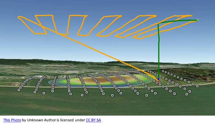
Drones for Surveying
With recent Drone technology advancements and increased capabilities, drones are being used in multiple different applications for industry surveying and mapping needs. Drones perform these tasks in several market sectors, including construction, mining, agriculture, forestry and environmental research.
This article describes what is Drone Surveying and how and when is it used to save time, money and provide a safer choice for mapping & surveying requirements. Learn more about how exact this technology is and the diverse types of digital assets that can be produced and used. Want to learn more? Click on the Learn More Icon and it will direct you to the article.